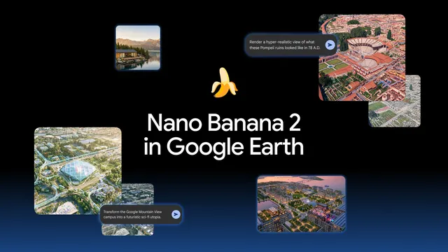
The impact of custom image generation on urban planning has become increasingly significant in recent years, particularly with advancements in technology and artificial intelligence. Custom image generation allows urban planners to visualize potential developments and modifications to urban landscapes in a more dynamic and interactive manner. By utilizing algorithms and machine learning techniques, planners can create realistic representations of proposed projects, which can facilitate better decision-making processes. This technology not only enhances the aesthetic appeal of urban designs but also aids in assessing the feasibility and sustainability of various projects before they are implemented. As cities continue to grow and evolve, the ability to generate tailored images that reflect community needs and preferences is invaluable.
One of the primary benefits of custom image generation in urban planning is its capacity to engage stakeholders and the public. Traditional methods of presenting urban plans often involve static images or technical drawings that may not resonate with the general populace. In contrast, custom-generated images can depict scenarios that are more relatable and understandable, allowing for greater public participation in the planning process. This engagement is crucial, as it fosters a sense of ownership among community members and can lead to more informed feedback. By visualizing the potential impacts of urban developments, planners can address concerns and incorporate suggestions from residents, ultimately leading to more successful and accepted projects.
Moreover, custom image generation can significantly enhance the efficiency of the urban planning process. By automating the creation of visual representations, planners can save time and resources that would otherwise be spent on manual drafting and revisions. This efficiency allows for more rapid iterations of designs, enabling planners to explore multiple scenarios and outcomes quickly. Additionally, the integration of real-time data into these generated images can provide insights into how proposed changes might affect traffic patterns, environmental conditions, and social dynamics within the urban area. As a result, urban planners can make more data-driven decisions that align with the goals of sustainability and resilience.
In conclusion, the impact of custom image generation on urban planning is profound and multifaceted. It not only enhances the visualization of urban projects but also promotes public engagement and improves the efficiency of the planning process. As technology continues to advance, the role of custom image generation is likely to expand, offering even more innovative solutions to the challenges faced by urban planners. By embracing these tools, cities can better navigate the complexities of growth and development, ensuring that urban environments are designed with the needs and aspirations of their communities in mind.